 ITC, since 2010 a Faculty of the University of Twente, is primarily focusing on the use of Geo-Information Science and Earth Observation techniques. As a leading institute in the field of spatial information science and earth observation, ITC has established an excellent track record in the use of remote sensing (ranging from aerial photographs and satellite imagery to modern radar, laser scanning and hyper-spectral techniques) for the acquisition of spatial data.
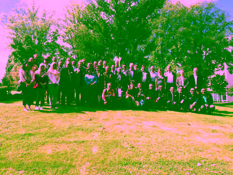
ITC’s activities specifically aim at the development of methodologies for Natural and Earth Resources, Spatial Planning, Environmental Assessment and Management, etc. and for the delivery of training, capacity building and advisory services in these fields. The Department of Earth Systems Analysis (ESA) has developed expertise in the use of remote sensing techniques for geothermal resources, geological and geophysical exploration. ITC has a long track record of project planning, management and monitoring in Indonesia. Relevant fields of expertise are: (thermal) remote sensing, data integration, near surface and airborne geophysics, capacity building. ITC (staff capacity of 245fte with staff members from 28 countries) primarily aims at international education, flanked by research and project services. Its activities relate to international knowledge exchange, focusing on capacity building and institutional development in countries that are economically and technologically less advanced. ITC’s activities concentrate on the application of geo-information tools and techniques applied to different fields such as natural resource and earth resources management, urban planning, land administration and disaster management. The specific expertise of ITC lies in the application of state-of-the art technology for the acquisition, analysis and application of spatial information. This is mainly done through the use of Geographic Information Systems and Remote Sensing techniques, and the application of newly developed sensor systems (hyperspectral and thermal imagery, laser scanning, etc). Since 1958, ITC has been involved in over 1200 advisory projects in more than 70 countries worldwide. ITC is an Associated Institute of the United Nations University for capacity building on Land Administration and Disaster Information Management. ITC has a large number of alumni in Indonesia (currently just over 2000) and maintains contact through a very active Alumni Association. In addition, Indonesia has been and is one of the target countries for bilateral collaboration in capacity building programs. Specific technology contributions to the GEOCAP include: